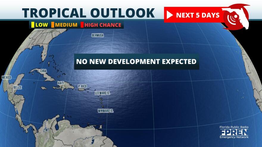
A very typical summer weekend is expected across the Sunshine State. No tropical systems or other significant weather features will enhance our usual afternoon-evening t-storm activity.

Statewide highs will generally be normal in the 90°s with heat indices in the low 100°s through late afternoon. In case you didn’t notice, Florida summer nights have been trending warmer for years, which was one of the topics FPREN spotlighted this week: https://www.wuft.org/news/2022/07/21/florida-summer-nights-are-trending-warmer/
T-storm chances will be in the 40-70% range with higher coverage expected inland. The main hazards are also unsurprising: strong winds, localized flooding, and lots of lightning.
Rip Current Risk is moderate along most of our Atlantic Coast beaches.
A slight shift in the weather pattern next week will likely make our afternoons hotter and sweatier, so sometimes normal can be nice.
Have a great and safe weekend!


