Weather Updates
-
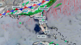
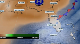
A cold front will try to get close to the I-10 corridor, while the strong east flow will keep the best thunderstorm chance along the western half of the Peninsula.
-
The series of historic freezes last month delivered one of the most damaging blows to Florida agriculture in decades. Meteorologist Leslie Hudson explains how the cold spread through the state’s crops — and why the impacts could ripple far beyond the fields.
-
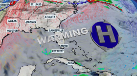
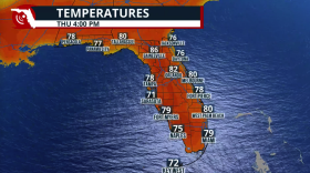
Highs will flirt with 90 degrees in some areas of Florida as a high-pressure system brings warm, humid air streaming from the south.
-
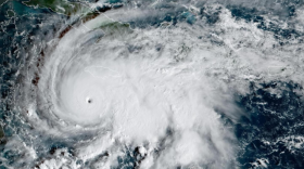
The World Meteorological Organization has retired the name Melissa from its Atlantic basin naming lists after the Category 5 devastated Jamaica in 2025.
-
Dry, breezy weather is helping to enhance pollen readings across the state with oak, juniper, pine and grasses being the top allergens.
-
NOAA forecasters believe the current La Niña state will transition into an ENSO-neutral pattern. Meteorological spring runs from March 1 through May 31.
-
Constant eastward wind flow will keep humidity levels present across parts of Florida. This also increases the risk of rip currents along Florida's east coast.
-
A rare celestial event will light up the skies on March 3 — the last total “Blood Moon” visible in the Americas until late 2028. Find out what makes this eclipse unique and when to look up before the moonset cuts the show short.
-
The weekend arrives with much-needed rain across Florida. It won’t be enough to alleviate the drought, but we’ll take anything we can get. Don’t expect a drop in temperatures, as the front will be weak.
-
When temperatures drop, so does your tire pressure. Digital meteorologist Leslie Hudson explains the simple science behind winter’s impact on your tires — and why ignoring that dashboard warning could cost you.

