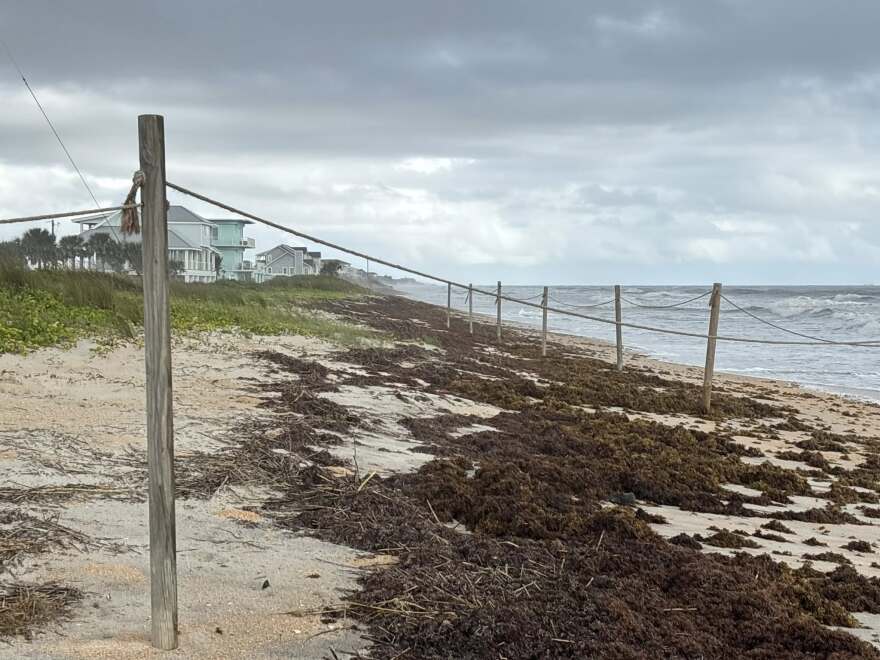
Heavy rainfall combined with higher-than-normal tides triggered flooding along portions of Florida’s east coast Friday, with the threat expected to continue through at least the first half of the weekend.
A developing storm system off the coast helped produce rainfall totals to between 6 and 12 inches along parts of the Space Coast, with 2 to 4 inches falling farther north along the First Coast and 1 to 3 inches across the Treasure Coast.
In the hardest-hit zones, several roadways were closed, and neighborhoods around Merritt Island appeared inundated by the high water.

The National Weather Service office in Melbourne even received reports of water rescues in Edgewater, just outside New Smyrna Beach in Volusia County, where several vehicles were stranded.
A series of weather alerts, including Flood Warnings, Coastal Flood Warnings and coastal statements, stretched from the Florida-Georgia border south to the Keys, with the greatest threat of additional flooding east of Interstate 95 and along the St. Johns River.
While most forecast models indicate less than 3 inches of additional rainfall through the weekend, forecasters caution that even a small amount of precipitation occurring near high tide could trigger more flooding.

Along the beaches, winds gusting between 30 and 45 mph have not only pushed water levels higher in tidal waterways but also produced high surf, life-threatening rip currents, and ongoing beach erosion.
Lifeguard agencies continue to fly red flags along area beaches, warning everyone to stay out of the water.
So far, there have been no reports of missing swimmers, with most beachgoers abiding by the advice of officials.

Transition expected during second half of weekend
Forecasters expect conditions to gradually improve by Sunday as the low-pressure system moves farther offshore.
As the low drifts toward the U.S. mid-Atlantic, winds will generally shift out of the north and northwest, allowing drier, cooler air to filter into the Sunshine State.
Although rain chances will drop below 20% coverage on Sunday, coastal hazards such as rough surf, rip currents and periods of beach erosion are expected to continue well into the upcoming workweek.

Another period of extremely high tides and potential coastal flooding is expected during the first week of November, when the year’s next supermoon produces another round of King Tides.
If those tides coincide with a significant storm system or a heavy rainfall event - similar to what recently occurred - it could result in some of the most substantial coastal flooding of the year.


