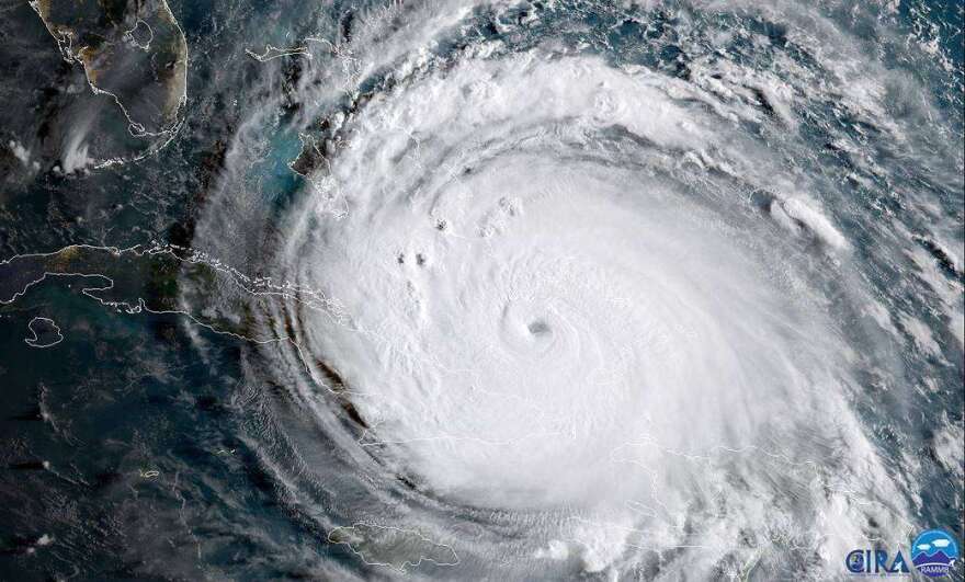
A seventh consecutive above normal hurricane season could churn out of the Atlantic this hurricane season.
On Tuesday, forecasters with the National Oceanic and Atmospheric Administration called for 14 to 21 named storms, including six to 10 hurricanes and three to six major hurricanes with winds topping 110 mph. The forecast, which they give a 70% chance of occurring, lines up with two earlier projections that also call for another busy season.
The season that officially starts next week is being driven by above normal surface ocean temperatures, an active West Africa monsoon season and a lingering La Niña, said NOAA administrator Rick Spinrad.
“Those are the kinds of factors that we're looking at right now that play into the outlook,” Spinrad said during a press conference held in New York City to draw attention to the 10th anniversary of Hurricane Sandy.
Forecasters are also keeping an eye on the Loop Current in the Gulf of Mexico, which carries warm water hundreds of feet deeper than surface waters and could quickly power up storms headed to the Gulf coast.
“It does actually depend on if the storm moves over the current," said Matthew Rosencrans, NOAA’s lead season outlook forecaster.
In 2018, Hurricane Michael crossed warm water delivered by the current and jumped from a Category 1 to a Category 4 storm in a little over 36 hours.
This month, the current moved north of Tampa, an ominous sign since it can spin off eddies as it moves farther north, said University of Miami Rosenstiel School of Marine and Atmospheric Science oceanographer Nick Shay. Those eddies can then meander slowly through the gulf, providing reservoirs of deep warm water to fuel passing storms. The location is similar to the current’s position in 2005 when Hurricanes Katrina, Rita and Wilma made landfall.
Forecasters say a La Niña weather pattern is also likely to continue through the hurricane season. La Niñas produce weaker upper-level winds than El Niños and lack the power to knock down storms.
Weaker trade winds in the Atlantic and a busy monsoon season off West Africa, where many of the strongest and most durable hurricanes are seeded, are also expected to keep the season active.
As the season moves through the summer, NOAA expects to triple its computer capacity, allowing it to feed even more data into its models and handle bigger ensemble models, Spinrad said. That change comes with ongoing work that has improved the National Hurricane Center’s three-day track forecast by 57% since 2000, he said. Intensity forecasts, he said, are now 40% lower than the brutal 2005 season.


