
As we move through the Memorial Day weekend, weather conditions will become more unstable and stormier, especially on Sunday across North and interior Central Florida. At the surface, a high-pressure system remains over the western Atlantic and will continue to provide southeasterly flow across much of the peninsula. This flow will continue to inject moisture and warmth across the state. In the upper levels of the atmosphere, a low-pressure system spinning just east of Florida has brought a stream of instability across the region, resulting in mostly cloudy skies at times throughout this past week. This low-pressure system will finally begin to erode, but a cold front and another low-pressure system will move in from the west. The high-pressure system will not allow the cold front or the low-pressure system to move south across the Southeast. Instead, the front will remain well north of Florida. Nonetheless, different troughs, waves of energy in the upper levels of the atmosphere, moving through the state will provide enough instability, especially Saturday evening into Sunday morning, to produce numerous showers and thunderstorms across the Panhandle and West Florida.
The holiday weekend's storm chances are higher along the interior and Florida's West Coast. Frequent lightning and gusty winds are possible in the afternoon hours. pic.twitter.com/vmaKnkg6RF
— Florida Public Radio Emergency Network (FPREN) (@FloridaStorms) May 22, 2026
Along Florida's East Coast, the shower activity will remain mainly confined overnight into the early morning hours and perhaps a few streamers in the early afternoon, but the thunderstorm activity will be mainly focused across the interior and west coast of Florida as the east-southeast breeze and sea breezes become more active after the day's heating and ignite through the early afternoon hours. This pattern will repeat throughout the holiday weekend. Make sure to plan carefully and have at least 3 ways to receive weather alerts, especially if you plan to be outdoors. Remember, there could be some strong thunderstorms that don't warrant a warning, but can produce gusty winds. Also, all thunderstorms have lightning, and lightning is not a criterion for a severe thunderstorm warning.
The Storm Prediction Center does not currently highlight a risk for organized severe thunderstorms. However, these thunderstorms could still produce strong gusts of 30-45 mph, numerous lightning strikes, and periods of heavy downpours. The heavier rainfall, especially when falling over dry areas experiencing severe to extreme drought, could lead to localized flooding. The heaviest rainfall will impact the western portion of the Panhandle through Saturday morning and again between Sunday night and Monday morning. This is as close as the low-pressure system and the front will get to our state. Afterward, the system will begin pushing northward and remain away from the rest of the peninsula. Over the next five days, between Saturday and Wednesday morning, isolated rainfall totals could reach up to 4 inches across western Florida. Overall, from Tallahassee westward, rainfall totals could range between 1 and 2 inches. Across North Florida along the western coast and into Southwest Florida, rainfall totals could also range from 1 to 2 inches, with isolated areas receiving up to 3 inches. Across eastern Florida, although showers and thunderstorms will stream in at times and affect portions of the state, rainfall totals will generally range between a quarter of an inch and 1 inch. At least the heaviest rainfall will fall over areas where drought conditions are most intense. Still, the rain will not be nearly enough to bring significant relief to the drought.
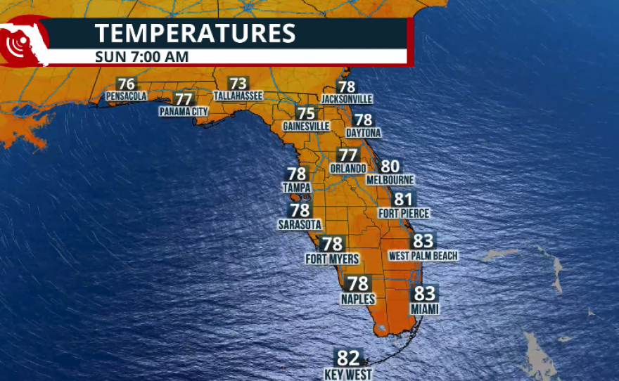


Hot afternoon, and warm and muggy nights
Temperatures will remain warmer than average for this time of year. Lows could be as high as 80 degrees overnight across much of Florida, or very close to it. Highs will range between the upper 80s to low 90s, but with all the humidity, temperatures could feel close to 100 or slightly above 100 F. Make sure to stay hydrated and take frequent breaks indoors or in an air-conditioned place to cool off.
Marine danger
Although the beach could be tempting over the weekend and is very popular during the unofficial start of summer, the risk of rip currents will remain along the East Coast throughout the weekend. Please swim near a lifeguard if you must.

Drought Update - Virtually unchanged.
The latest drought update was released on Thursday, May 21. Florida has started to show at least some signs of improvement. Across the Panhandle, the western portion is now under severe drought conditions, and we have noticed that the area of extreme drought continues to shrink. However, the central and eastern portions of the Panhandle remain under exceptional drought conditions. Central Florida remains virtually unchanged, with the Space Coast still under moderate-to-severe drought conditions, while parts of the Tampa Bay area continue to experience extreme drought. South Florida also remains largely unchanged, with extreme drought affecting the Lake Okeechobee region and extending into Southwest Florida. Meanwhile, the metro areas of Southeast Florida continue to show sharp contrasts in drought conditions. Southeastern Palm Beach County remains abnormally dry, while the metro areas of Broward County and Miami-Dade County are under moderate drought conditions. Conditions then quickly transition to extreme drought across the central and western portions of those counties. Overall, there has been a slight improvement in drought conditions across the entire state, so we can say that Florida is slowly heading in the right direction.


