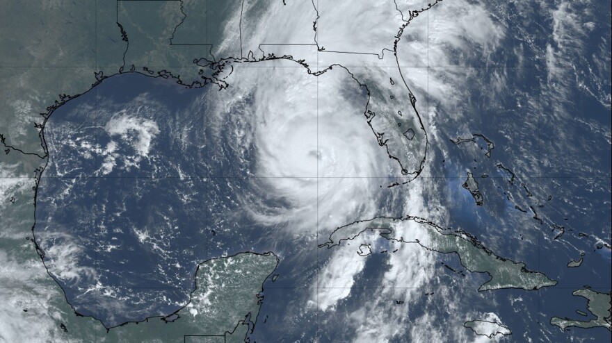
Expect another busier than normal Atlantic hurricane season this year, with hotter oceans and low odds for storm-shredding weather patterns emanating from the Pacific.
That’s according to the National Oceanic and Atmospheric Administration’s preseason outlook issued Thursday. Forecasters say warm surface waters and a likely chance that neither a La Nina or El Nino will form are driving the forecast, with about a 60% chance that the season again exceeds the average.
Between 13 and 19 named storms are expected, with six to 10 becoming hurricanes. Three to five could strengthen to major hurricanes with winds topping 111 mph.
READ MORE: The National Weather Service calls for above-average activity this 2025 season, watch for impacts
”Everything's in place for an above-average season,” said National Weather Service Director Ken Graham, who led the National Hurricane Center from 2018 to 2022. ”No matter the forecast, what do we always say? [It] only takes one. It only takes one. So we gotta be prepared.”

The forecast comes as NOAA grapples with widespread cuts, with about 2,000 staffers leaving, or about 20% of the agency workforce, under the Trump administration’s plan to shrink government. That includes about 550 employees at the National Weather Service, according to a letter released earlier this month by five former agency heads. Local forecasters say Florida weather offices are short about a dozen forecasters.
During the hourlong press conference, officials said the cuts would not affect hurricane forecasting and warnings — but declined to answer specific questions.
”It is our top priority - weather prediction, modeling and protecting human lives and property is our top priority,” said NOAA chief of staff Laura Grimm. “We are fully staffed at the hurricane center. We definitely are ready to go.”
As they marked the upcoming 20th anniversary of Hurricane Katrina, officials instead focused on improvements to hurricane forecasting.
That includes shrinking the track error by more than 200 miles in the last two decades, making evacuation orders more precise, Graham said. Forecasting a hurricane’s intensity has also improved by 40 to 45% in the last 10 years under a project launched under the second Bush administration. Predictions are also coming sooner, with forecasters now able to issue tracks and warnings days earlier.
“Helene was forecast to be a major hurricane before it was even a depression,” Graham said. “ It was a bunch of clouds, a couple thunderstorms. And we were able to have the confidence… to be able to say, we're gonna issue a cone. “
Sign up for WLRN’s environment newsletter Field Notes to receive our insider’s guide for living in South Florida’s changing landscape. Get original reporting and recaps, with context, delivered to your inbox every Friday. Subscribe here.


